
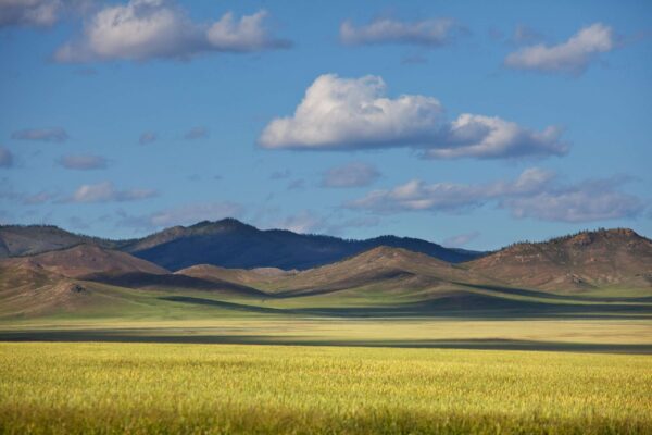
Bayanzurkh Uul East is the eastern part of the Bayanzurkh Uul mountain range, located near the village of Khonkhor, Mongolia. The length of the entire trail is approximately 31 miles (around 50 km). The surface on most of the trail is “doubletrack.” This means that duplicate trails/dirt tracks predominate here, and there is not a narrow singletrack. The difficulty level is assessed as medium. Area: the trail zone is approximately 31 km². In this overview, you can become more familiar in detail with the main nuances of the Bayanzurkh Uul East cycling trail and study all the features of the terrain.
Description of the Bayanzurkh Uul East Trail: Main Characteristics
The entire trail area resembles the central region of Bayanzurkh Uul. On the south-eastern side, several different descents are offered to choose from. Moreover, cyclists are mainly attracted to those descents that are located in the eastern half of the entire mountain system. They extend for 4.25 miles (almost 8 km), and the elevation drop is 1,300 feet.
As a result, this descent is assessed as one of the most promising and longest, and the main reward can be called the incredible views and nature. Nature is considered especially beautiful here in early spring and in the winter period, when everything around Ulaanbaatar is covered with snowdrifts.
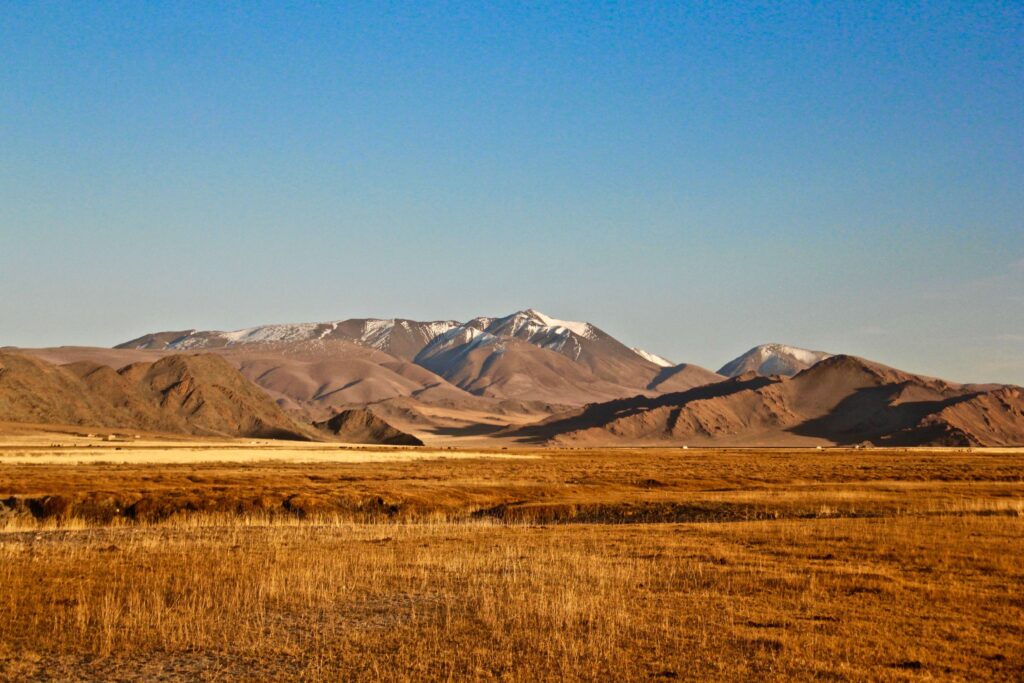
On the slopes on the northern side, there are also several suitable forest trails for mountain biking. Also, suitable cycling trails are noted along the ridge, which can be called a rarity for the Bayanzurkh Uul ridge.
In most cases, local and visiting cyclists choose cycling trails located along the top of the ridge from the north-western side to the south-eastern, running through the entire area. This allows connecting all trails into one complete system. The ride along the ridge involves overcoming 4 miles (6.5 km).
How to Get to the Trail Route
In order to get to the mountain cycling trail system, several important nuances must be taken into account. A pass/drainage leads to this system, which begins at the village of Khonkhor. The drainage is the western boundary of the entire mountain system.
The eastern boundary of the system is called the foot of the ridge on the outskirts of the railway settlement of Nalaikh. If a more convenient option needs to be chosen, experienced cyclists recommend starting with the first option – from Khonkhor. Moreover, the “pass” can become an excellent landmark, acting as an entry point.
Terrain and Features of the Cycling Route
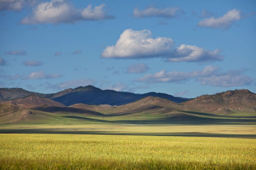
On the northern side (on the slopes), separate sections with green forest are located. Compared to the southern slopes, which are more open, where steppe/semi-desert vegetation predominates, there are quite a lot of various trees in the north. As a result, the terrain and the entire area of the cycling route are quite diverse. Various sections are present here, ranging from meadow and hilly to forest massifs.
However, most cycling trails are called dirt and “wild” with a sufficient number of stones, uneven surfaces, and many obstacles along the way. Among the important advantages of this area, beautiful nature, excellent descents and ridges are noted, which both professionals and beginners will certainly appreciate. In addition, among no less important advantages, it is also worth highlighting the relative proximity to Khonkhor/Ulaanbaatar and the incredible atmosphere of “wild Mongolia.”
Who Is the Bayanzurkh Uul East Cycling Trail Suitable For
Despite the medium level of difficulty, the Bayanzurkh Uul East trail is initially intended for those who already know how to ride and have at least minimal experience in overcoming different mountain cycling routes. This is an excellent solution for those who choose enduro or mountain bikes, as well as for cyclists with some experience on road bikes.
According to numerous reviews from professional riders, it can be concluded that this trail is especially beautiful in early spring. During this period, nature is already beginning to come alive and awaken after winter, but some slopes still have snow.
Also, this cycling trail will certainly appeal to everyone who enjoys combined terrain: a combination of descents, ridges with forest massifs and open slopes.
Immersion in Wild Nature and Best Points for Photo Sessions
The presented route provides an opportunity to combine the pleasant with the useful, namely – cycling trips plus photo sessions and acquaintance with wild nature. For example, from the ridges, excellent views of the steppes and distant mountain chains open up. Local riders often make stops at “viewpoints” – this is the most suitable place for photographs, for a short rest, to continue their journey further.
Along the entire length of the trail, there is almost completely no tourist infrastructure and large numbers of people. This atmosphere creates a pleasant sense of real adventure, providing an opportunity to immerse oneself in wild nature conditions.
During riding, riders may encounter local fauna, namely – goats, horses, wild birds. Local cyclists often call this route and its locations – “Mongolia in miniature.” After all, here there is everything that can be seen in Mongolia in different cities and settlements. In one place, there are desert slopes and shrubs, rare species of trees, and windy passes.
Despite the fact that almost all descents are quite long, climbs are also present. They cannot be called too steep, but they allow one to “warm up” the legs during riding. This cycling trip is considered an ideal combination of cardio plus technique, which guarantees a quality workout.
Preparation for the Planned Cycling Journey
For riding on trails, it is necessary to have a suitable mountain bike with quality suspension and a reliable braking system. So as not to search for starting trails each time, it is recommended to have the entry point and pass landmark in advance.
Along the entire trail, there are no shops or water sources, and therefore it is important to prepare in advance and take sufficient water supplies and snacks for the entire day. The descents are long and technically challenging, which presupposes the use of protection: helmet, gloves, equipment for knees and elbows.
One must remember that the eastern slopes often “greet” with windy weather, and therefore on the ridges it can be cool even in the summer season.