Zaisan Trail is one of the most popular cycling routes located in the southern part of Ulaanbaatar (near the Zaisan Hill area), Mongolia. Thanks to its moderate difficulty level, even beginner cyclists can test their abilities. The trail is 5 miles or 8 km long. This location has also gained particular popularity in the city as the most well-known viewpoint and memorial (Zaisan Memorial) – offering incredible panoramic views of the entire city. This review provides detailed information about all the features of this famous cycling trail, allowing you to study the proposed route before your planned trip.
Key Characteristics of the Cycling Route: What You Should Know and Remember

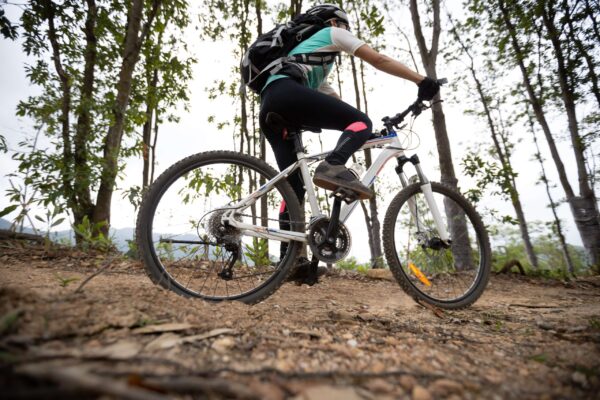
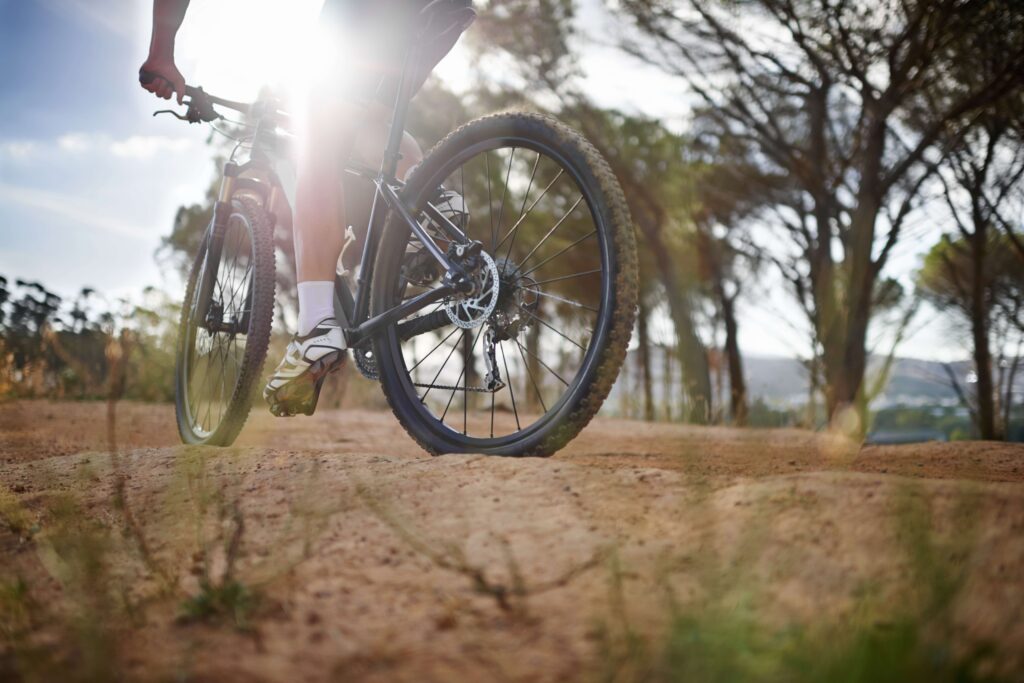
This is a fairly narrow trail, and the route leads cyclists uphill. The elevation gain can reach up to 520 feet (approximately 160 m) in places. The trail runs through green, dense coniferous forest – dominated by larches, pines, and Siberian spruces. For cyclists’ convenience, the trail surface is covered with a soft sandy base. The trail is continuous: both uphill and downhill.
Most of the route consists of various hills that are quite diverse (fast and steep, as well as gentle and smooth), with some interesting obstacles along the way.
The ascent may seem quite challenging for beginners, while the descent requires technical skill. However, some sections of the route demand heightened attention from cyclists due to the presence of various roots and rocks.
Locals believe this route cannot be called one of the most convenient. Its popularity often leads to overcrowding, which is particularly noticeable on weekends. For this reason, there is significant trail wear, which also adds some difficulty during rides.
Despite this, Zaisan Trail is often called a “connector”: the trail is used as an entry/exit point to other longer cycling routes located around the southern hills and slopes.
How to Get to Zaisan Trail
You can reach Zaisan Trail by finding the bridge crossing the Tuul River on the main road to Zaisan. To avoid getting lost, start your journey from the bridge heading south for approximately 0.6 miles (1 km) until you reach the main junction in Zaisan. Turn right and continue south up the Zaisan valley for 1.1 miles (1.8 km), then turn left through the gate (there will be a small brick building on your left).
After another 0.3 miles (0.5 km), the road ends at a dead end at the camp car park. You can park here and rest for a bit. Standing in the car park and looking west, you can see a large, fairly steep mountain slope facing east.
The Zaisan Chutes trail neatly emerges beyond the line of green trees and stretches up the entire length of the steep mountain slope. There are no signs along the trail, so to avoid getting lost when leaving the camp, follow the two trails up the mountain slope along the forest edge. While riding, cyclists will see another small trail branching off to the left leading into the depths of the forest. However, don’t rush to turn onto it: it’s best to continue a bit further to see another small trail on the left – this is the base of the descents.
Mountain Biking on Zaisan Trail: Some Trip Nuances
When setting out to mountain bike on Zaisan Trail, it’s important to consider some valuable recommendations from more experienced cyclists. To reach the top of the chutes, simply keep pedalling and pushing off from the trail surface with your feet. If you turn left, the cyclist will continue along the ST trail, climbing uphill. From the top of the chutes, the ascent becomes as smooth as possible.
During the ride, you can see one of the first clearings in the forest – an open area resembling a ridge, located approximately 1/2 mile (750 m) from the top of the chute. Cyclists often use this spot for convenient and safe turnarounds. Nevertheless, the trail continues.
If you measure the distance from the upper descent to the nearest camp car park, it’s approximately 2.5 miles (4 km). This is the first cycling trail in Mongolia to be published on Singletracks.
The “Zaisan Chutes” are often called some of the most popular among cyclists: both locals and visitors alike. However, there are many trails in Mongolia without official names – the “Zaisan Chutes” are no exception. The name “Zaisan Chutes” is used by many cyclists because these descents remind them of the chutes in Colorado Springs. The main descents are indeed roughly the same length as those in Colorado Springs, but they are several times more interesting and, in places, quite captivating.
Who Zaisan Trail Is Suitable For and When It’s Best to Go
Zaisan Trail is considered an ideal option for those who enjoy short cycling trips or even training sessions that include climbs and descents for a proper workout. Additionally, this option will appeal to those planning to combine a bike ride with a visit to Zaisan Hill/Memorial – after the ascent, tourists get a unique opportunity to enjoy incredible city views.
Today, Zaisan Trail is considered one of the most accessible yet compact MTB routes in the Ulaanbaatar area. Its convenience can be explained by the fact that cyclists can enjoy a short but fairly intensive bike ride, after which they also get to see all the beauty of the city. However, you should be prepared for significant physical demands and possible trail congestion. This option is chosen by those who enjoy small adventures where comfort takes a back seat.