
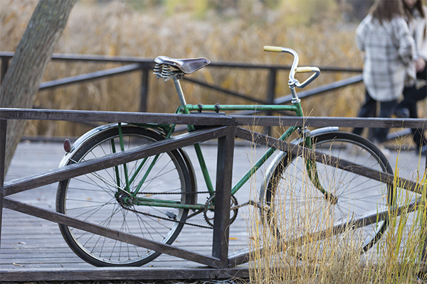
Chengeltei is one of the popular mountain areas and hills that surround Ulaanbaatar, Mongolia. This area is included in the list of the most popular climbs/trails for mountain biking. Despite the fact that the difficulty level when passing through this route is assessed as “medium,” from a technical point of view it can quite be called difficult. This is connected with the presence of a steep climb (around 1.6 km), at the summit – a bypass, and then cyclists can expect a descent along a ridge approximately 7.6 km long. In this overview, you can become more closely acquainted with all the features of this unique route and understand how to get to the North Chengeltei Mountain cycling trail.
Features of the Cycling Route: What You Should Know
The proposed network of trails mostly runs through forested terrain with an area of approximately 15 square miles (around 40 km²). Cyclists can expect 40 km of trails that are considered organic, sufficiently grassy, and well-compacted, which indicates stability during movement.
For example, there is one trail, choosing which a cyclist will be able to move strictly northwards. However, it climbs quite high on the mountain ridge. If desired, one can carefully descend onto the mountain slopes or onto the side valleys located on both sides.
The height of the majority of the most popular descents amongst cyclists ranges from 500-1,300 feet. To climb onto the ridge of the main ridge leading north, cyclists can expect a mile (1.6 km) of climbing north from THD. As a result, it will be possible to gain free access to most of the spacious terrain that opens up from above.
Some cyclists choose another option along the route: for example, they head west from THD to make several interesting loops in the chosen direction.
How to Get to the Start of the Trail
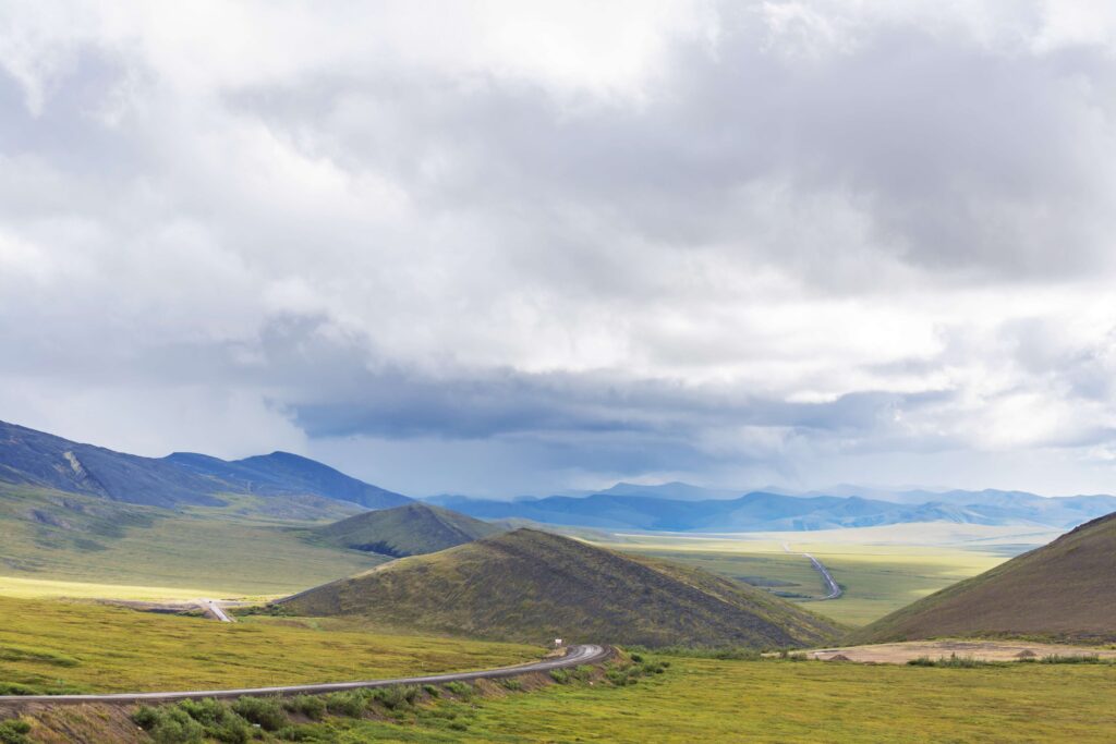
Beginners, when discovering completely new routes for themselves, often wonder: how to get to the beginning of the trail to start their cycling journey?
For this, several points are offered to choose from:
- Exit from Zuun Sala road.
- Exit from Shargamorit road and Jigjidiin road (here there are some problems with free access).
- At the end of Chengeltei road.
In most cases, cyclists choose precisely the third option. The main reason is its close location to the central part of the city. To get to this point, it is necessary to turn left (moving west) at the Dolun Budal intersection. It is recommended to continue moving north-west along Chengeltei road. It will be necessary to travel approximately 6.8 km to the end of the road and the THD junction. But after 5.2 km, the asphalt pavement ends and it is still necessary to overcome 1.6 km to successfully reach the nearest place for parking and rest.
This is already the last section, when moving on which one should keep as close as possible to the forest belt on the right side or along it. It is necessary to reach the last house, which will be located along the dirt road.
At the house there will be a fork:
- On the right side, one can see a more pronounced dirt road that goes east of north and up to Chengeltei peak.
- On the left side, one can see a less pronounced dirt road – this is precisely the route that is chosen for mountain biking.
Route I is mostly directed north-west. Parking will await cyclists immediately before the last house, and there will also be one more parking area, but slightly lower – in a circle of trees, next to a log cabin on the left. Here one can notice how the road begins to gradually level out, which means one can make a stop and rest.
From this stop/parking, there is another trail that leads west. This trail is also included in the general system of cycling trails and is considered no less exciting than all the others. In this area, all trails can be called accessible, and a large part of them are located north of the trail start.
Who Is the North Chengeltei Mountain Cycling Trail Suitable For
On Chengeltei mountain, new pedestrian trails regularly appear with the necessary infrastructure for cyclists. For example, the presence of information boards, shelters, and signposts. Most cycling trails lack various signposts, and therefore the main advice from already experienced cyclists who share their recommendations with beginners should be taken into account.
Most often, this trail is chosen by:
- More experienced MTB riders – they know and understand how to technically correctly descend, navigate mountain trails, and not get lost.
- For those who enjoy discovering and exploring new mountain terrains located not far from the city – in this case, the popular Chengeltei route provides such a unique opportunity.
When planning riding along this route, one needs to take into account all difficulties and choose a good mountain or even off-road bicycle. Such transport should have durable tyres, quality brakes, and be intended for operation over stones and rough terrain. Beginners are recommended to start their acquaintance with a “reconnaissance” route, moving as carefully and slowly as possible.
Chengeltei – More Than Just an “MTB Trail”
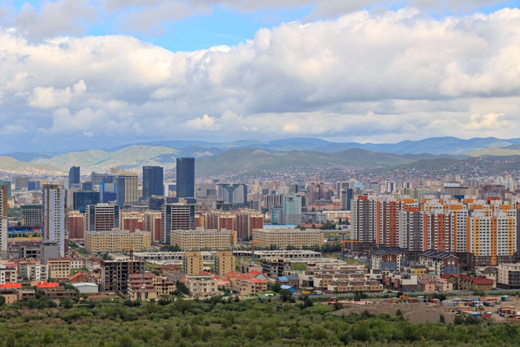
The North Chengeltei Mountain route is predominantly forested terrain that is characterised by a fairly gentle elevation drop. Compared to the southern slope, the trails offered in the northern part are called maximally convenient and not too extreme, which is especially important for beginners. Therefore, this route is often chosen by those who prefer calm cycling trips or light trails.
Thus, Chengeltei can safely be called a complete complex of routes, where different “levels” are offered: ranging from technically difficult MTB descents to lighter forest rides and walks for relaxation. However, it is worth remembering the absence of large-scale infrastructure in the northern part. These are standard forest trails/classic trails that are often used for cycling and various hikes. As a result, one can enjoy cycling, nature, mountains, and excellent views of the city.